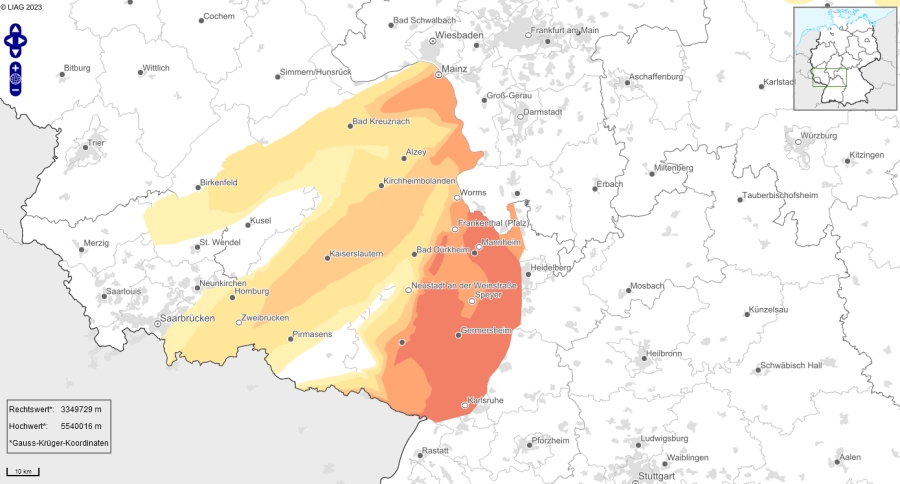
Vermutetes hydrothermisches Potenzial im Raum Kaiserslautern, abgebildet sind außerdem große Bruchzonen (schwarze Linien)
© LIAG
Potential for hydrothermal geothermal energy
There is believed to be potential for hydrothermal geothermal energy in the Kaiserslautern area. However, compared with other regions in Germany, such as the Upper Jurassic in Bavaria or the Upper Rhine Graben, there have been very few pilot projects here to date. Only the company Wipotec has tapped into a source of around 50 °C at a depth of approximately 1,500 metres in the Rotliegend.

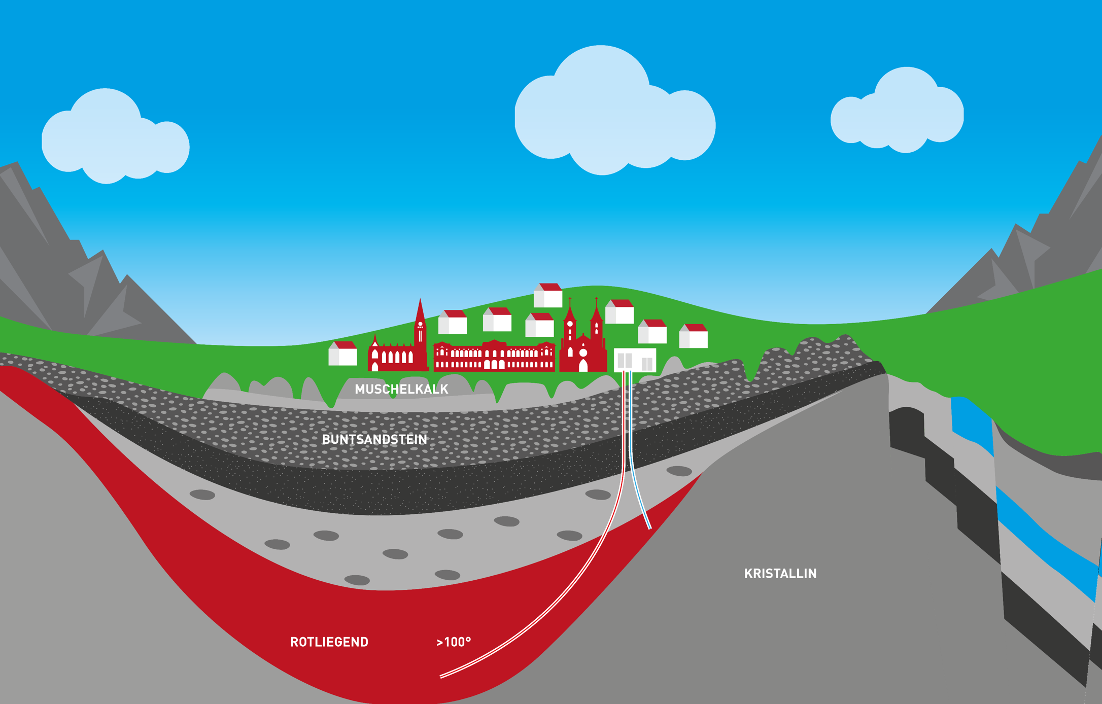
Based on this finding, the rock strata are now to be explored in greater detail. The aim of these explorations is the so-called Rotliegend, a sandstone layer which is expected to lie at a depth of around 2,300 to 3,300 metres beneath Kaiserslautern and which dips towards the south-west.
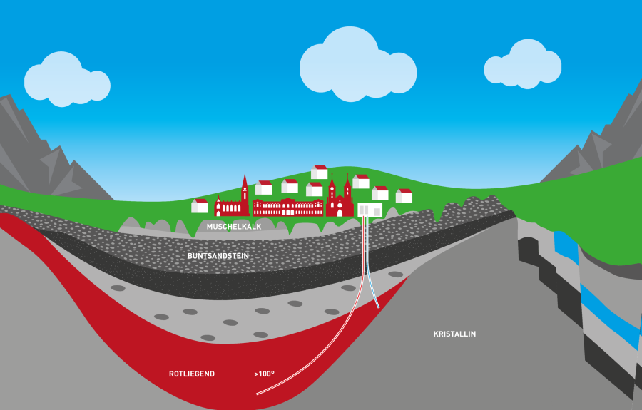
Schematische Darstellung des Rotliegend in der Pfälzer Mulde.
© Enerchange
3D seismic surveys
There is believed to be potential for hydrothermal geothermal energy in the Kaiserslautern area. However, compared with other regions in Germany, such as the Upper Jurassic in Bavaria or the Upper Rhine Graben, there have been very few pilot projects here to date. Only the company Wipotec has tapped into a source of around 50 °C at a depth of approximately 1,500 metres in the Rotliegend.