The ‘Lutrina’ exploration area
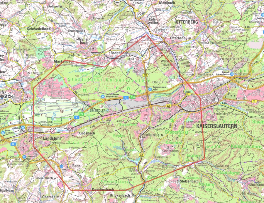
The ‘Lutrina’ exploration area, which covers 143 km² and is named after the city’s legendary founder, encompasses the south-western part of the city.

The following local authorities are also covered:
- Krickenbach
- Rodenbach
- Trippstadt
- Oberarnbach
- Landstuhl
- Weilerbach
- Queidersbach
- Ramstein-Miesenbach
- Kindsbach
- Otterbach
- Stelzenberg
- Bann
During the period of sparse vegetation from autumn 2025 to spring 2026, 3D seismic surveys are planned here over a period of approximately six weeks. The challenge here is that the exploration area includes both sites with national and international protected status – such as biotopes or water protection areas – and the Ramstein Air Base. This must be taken into account when planning the surveys.
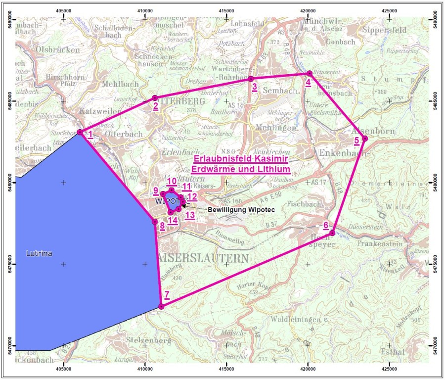
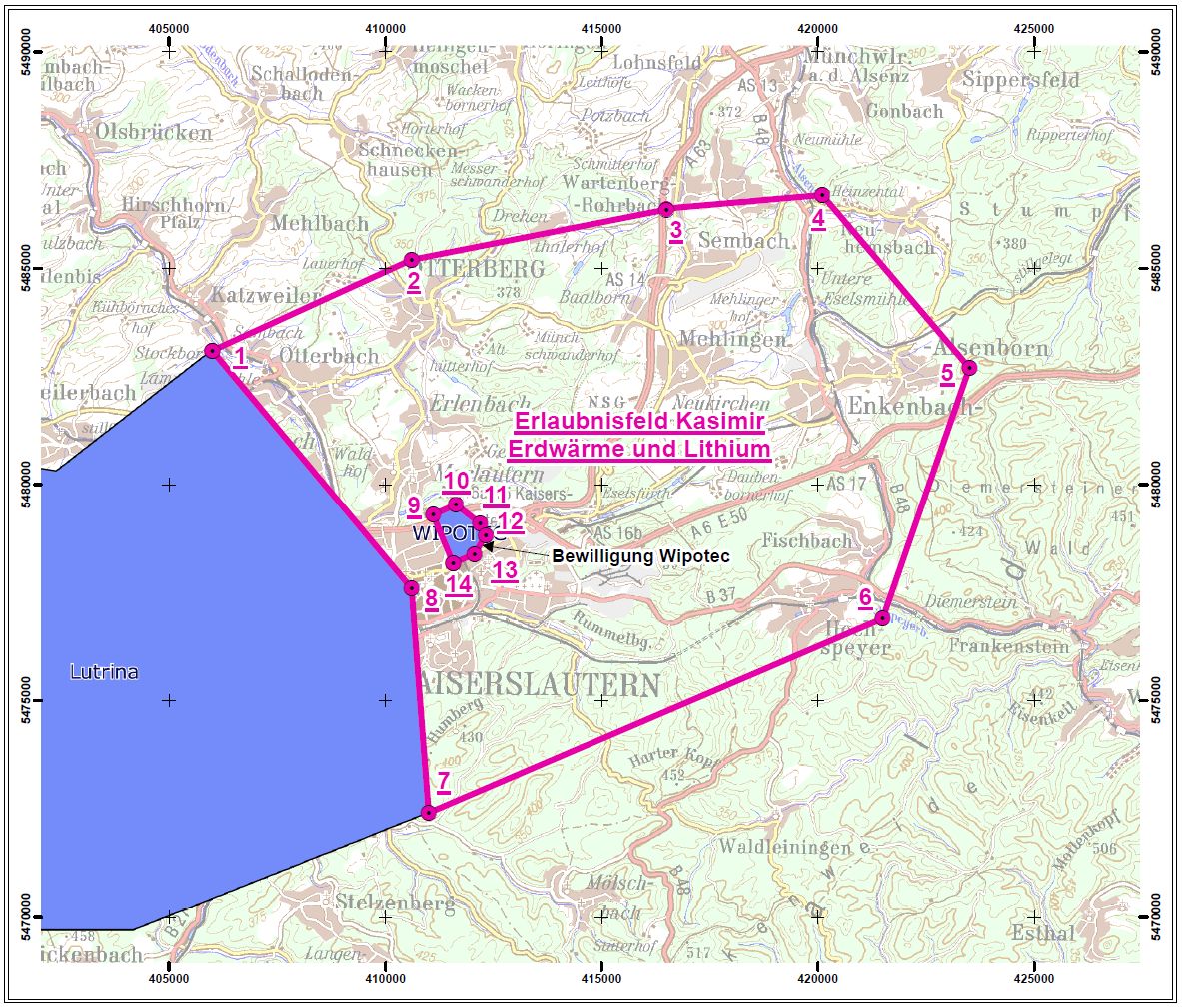
The ‘Kasimir’ exploration block
In the north-west, the ‘Kasimir’ licence area adjoins ‘Lutrina’. A distinctive feature of this area is that it includes the exploration licence held by Wipotec. The company, which specialises in high-precision weighing technology and production control, has been successfully utilising medium-depth geothermal energy for heat generation here for several years. There are currently no concrete plans for seismic surveys in ‘Kasimir’, as work is set to begin first on the neighbouring ‘Lutrina’ exploration block. Nevertheless, it makes sense to keep the block under local authority control for the time being, as there is also interest from private-sector project developers.